

Drone Survey and Mapping Mastery
(34 Reviews)
Instructors
DGCA Approved
Training Period
7 Days
Certificate Validity
10 Years
About this Course
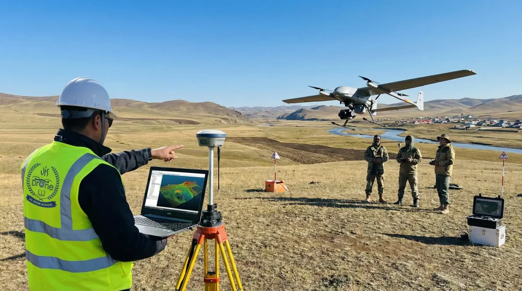
The Drone Survey and Mapping Mastery program is crafted for professionals aiming to harness UAV technology for high-precision geospatial applications. This advanced course bridges drone piloting expertise with professional surveying and mapping workflows, equipping you with the skills to capture, process, and analyze aerial data with accuracy and confidence.
Through a combination of theory, mission planning, field operations, and data processing sessions, you will learn how to execute mapping projects for industries such as infrastructure, construction, mining, agriculture, and land development. Graduate with industry-ready expertise in aerial surveying and qualify for high-impact roles in geospatial services and drone-based data solutions.
What will you learn?
- Fundamentals of Aerial Surveying & Mapping
- Mission Planning for Survey-Grade Accuracy
- Ground Control Points (GCP) & RTK/PPK Concepts
- Photogrammetry & Orthomosaic Generation
- 3D Mapping & Terrain Modeling
- Data Processing & Accuracy Validation
- GIS Integration & Map Deliverables
- Industry Applications & Project Execution
- Theory Classes: 3 Days
- Hands-on: 2 Days
- Practical: 2 Days
- Study Materials: Free
- Mode: Offline